Spring 2021 - Workshop #2: TRENDing: A Look at Community-Serving Corridor Development
- Mar 10, 2021
- 3 min read
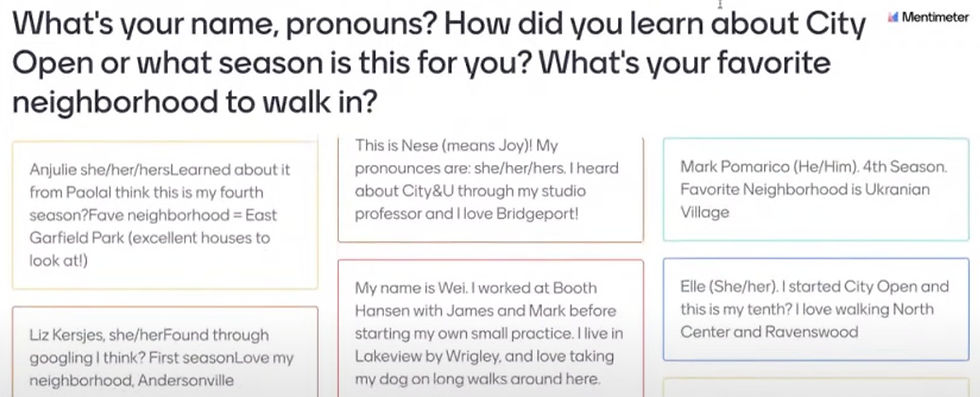
Image description: Black text on white background asks for name, pronouns, how folks encountered City Open, and “What’s your favorite neighborhood to walk in?”. Below, submissions of introductions scrolled, naming neighborhoods such as Garfield Park, Bridgeport, and Ukranian Village.
We tried a different method of introductions this evening using mentimeter, which showed who was in the Zoom room and participants' favorite walking neighborhoods around the city. This week we’re thinking about collective mapping of resources within a neighborhood. Our guest speaker is Lyneir Richardson, co-founder and CEO of the Chicago TREND Corporation, who spoke to City Open Workshop about his experience in community-focused residential and commercial corridor development. Lyneir’s particular forte is communicating the value of overlooked commercial corridors to retailers. Since starting Chicago TREND in 2016 his projects focus on the central questions of “How can retail strengthen neighborhoods?” and “Can we use capital to empower entrepreneurs of color that lead, own and drive commercial corridor development?”
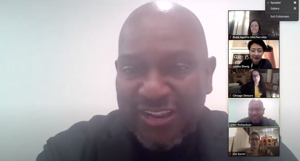
Image description: Screenshot of Lyneir Richardson full screen speaking to City Open, with a strip view of a few webcams of the group on the right.
We wrapped-up the Q&A abruptly as Lyneir had another engagement to run to. Louisa then gave an overview of this season’s breakdown of each Workshop’s goals and general timeline. We’re working in two main groups this season: Social and spatial research and Engagement Strategies and Documentation.

Collages of Madison Street, created by Ian Miley, Abigail Fiala, and Cristian Yugsi.
The Social + Spatial Research group focused on these incredible elevations prepared by City Open Workshoppers Ian Miley, Abigail Fiala, and Cristian Yugsi to prototype in the upcoming walking tour through Garfield Park. Could we mark it up? Draw over it? Overlay historical images in the now empty lots to add another layer to the walking tour? What if we used ArcGIS-based programs such as Storymaps to connect anecdotes, interviews, and other types of audio information to these elevations for folks to listen to while walking around Garfield Park?
The Engagement Strategies + Documentation group asked how we can capture the softer things in the community, qualities and value beyond the built environment. For example, moving through the neighborhood by walking, rather than by car, what are things that we tend to notice that would otherwise be missed? We brainstormed questions to ask and ways to engage residents in collecting information about those questions - questions like “What makes you happy in Garfield Park?”, and “What are you proud of in Garfield Park?”

Image description: A screenshot of a Zoom window: on the left, a Miro board collection of sticky note thoughts and questions and images of precedent story mapping tools. On the right are individual webcams of City Open participants discussing the content.
We plan to build on these questions in future workshops - using them to guide a new framework for engagement that creatively stirs the pot of corridor development strategies. If you’d like to get involved further, sign up for our working sessions and/or come to our next Workshop (posted on the website calendar).
GENEVIEVE WASSER is an architect preoccupied with centering environmental equity and social + racial justice in the built environment.
LOUISA ZHENG is an architectural designer and artist interested in the mediation of physical spaces through community participatory processes, mapping, print, and other modes of documentation.


Comments